Write Us
We are just a call away
[ LET’S TALK AI ]
X
Discover AI-
Powered Solutions
Get ready to explore cutting-edge AI technologies that can transform your workflow!

In today’s world, more and more companies depend on information about their location for customers or products. Working with a professional who can develop online and use location data is essential. That’s why GIS Software Development is more relevant than ever. Geographic Information Systems (GIS) have changed how we use maps and employ location data. Due to the increasing need for companies to monitor and gather data about their customers’ locations, GIS software plays an essential role in sizing operations and improving the quality of service.
Have you considered what areas of the convenience store customers spend the longest in? What are the most popular places to spend time with eBooks? Do you know of areas where cleaning and environmental pollution coexist in a way that creates a balanced environment? These and other issues that you could have answered by GIS software development. This software development is an excellent resource for any business, regardless of the type of education, commerce, or environmental protection.
In this post, we’ll explore everything about GIS software development.
GIS is a type of computer that lets users capture data, analyze and manipulate it, and develop particular data and geographical information. GIS is a shorthand for Geographic Information Systems, where:
Imagine you’ve got the map. It’s not a typical map that shows streets and rivers. It’s more like a mystical map that you can overlay with additional information such as weather patterns, population density, and even the location where you can find the closest pizza restaurant. This unique map, available online, is known as GIS software.
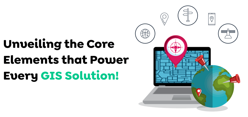
GIS integrates essential elements: software, hardware techniques, data, and individuals to collect, organize, analyze, and present geographic information.
GIS data could refer to information gathered from various sources, such as GPS devices, surveys, and remote sensing technology. Most often, the data comprises satellite imagery, maps, or other data from the geographic area.
GIS information is kept in a database or file system that allows it to be organized, maintained, and updated. Data can be altered by filtering, editing, or manipulating it according to the individual’s requirements.
GIS software offers tools to analyze and interpret data. These include maps, spatial queries, and 3D modeling. They help users identify patterns, trends, and connections in the data.
GIS software can also provide tools to display information in various formats like maps, charts, and graphs.
GIS analysis and visualization offer valuable knowledge that could assist decision-making across many fields, including urban planning, environmental management, and emergency response.
Also Read : Understanding MVP App Development Costs: A Comprehensive Guide for Startups
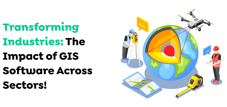
Before focusing on developing software that uses geospatial data, let’s discover the significance of GIS throughout various fields. GIS, or Geographic Information System, refers to a device that collects, stores, and displays information related to the positions of the Earth’s surface. You can link seemingly disparate to space-based data and uncover fascinating patterns.
Many applications are built, such as Maps from Google Maps or Uber, which use street maps, elite imagery, Earth 3D models, and information on traffic patterns to build an image that contains all.
The system could mix various data and be integrated into multiple industries. As an example:
There is no end to the fields. There is something to investigate in all areas of existence. It’s no wonder the GIS software market is continuously growing, predicted to grow to $25.5 billion by 2030.

GIS software was created to perform a variety of essential purposes that facilitate information management and analysis. To guarantee the efficacy and adaptability of GIS software, it’s necessary to think about these goals in the design process:
GIS applications are expected to be capable of processing and integrating different kinds of data, such as photographs, maps, satellite images, and spreadsheets. The capability to overlay multiple information sources, add documents, or unify information with the help of scales allows extensive analysis and visualization.
Spatial relationships are the foundation for GIS software. By blending and aligning information from multiple sources, GIS applications allow users to comprehend and work with 2D and 3D maps efficiently. This permits exact changes, modifications, or cuts in the information, allowing for a more thorough data analysis and historical evaluation.
Visual representation of data is an essential aspect of GIS software. Based on a user’s particular requirements, GIS programs should offer the ability to present maps with multiple layers, providing detailed analysis and insight. Information can be presented in various formats, improving users’ experience and facilitating decisions.
Although observation alone can yield important insights, GIS’s potential lies in its ability to conduct advanced spatial data analysis. Utilizing machine learning algorithms and data processing methods, GIS software can uncover obscure patterns, spot patterns, and create valuable insights from historical data.
Also Read : Mapping the Cost To Develop an Astrology App Inspired by AstroTalk
The capabilities of the GIS software are heavily dependent on the purpose for which it is intended. But, a few common elements constitute the core of the majority of applications:
The core feature of GIS software is the capability to show spatial information on an electronic map. It can be displayed in many formats, which include vector data (points or lines) polygons) as well as raster data (grids with pixels). The program should permit users to modify map views, zoom out and in, and layer different data sources for a complete study.
GIS software extends beyond the basic display of maps. It provides powerful tools to examine the spatial connections between various data sets. The tools include proximity analysis (finding areas that are close to each other), network analysis (identifying best routes), and overlay analysis (combining data sets to uncover new information).
The most effective GIS software allows users to locate specific places or facilities based on various factors. This could involve searching using addresses, postal codes, or other keywords associated with the specific location of importance. In addition, users must be able to search for information using spatial filters, like selecting all amenities in a particular zone.
Integration of different sources of data is essential for a comprehensive analysis. GIS software must easily integrate data from spreadsheets, databases, and other external sources. It also enables users to export data in multiple formats that can be analyzed or shared among colleagues.
Also Read : Mastering Mobile App Onboarding: Seamless User Experience & Higher Retention
A friendly user interface characterizes an attractively designed GIS program. This means intuitive features, simple menus, and interactive features. Some software also allows users to modify their settings, allowing them to customize the layout of their interface and functions to meet the specific requirements of their users.
It is important to communicate findings clearly and concisely. GIS software must include tools for creating reports and presentations incorporating maps, charts, and other visual elements derived from the analyzed data. Some software development also allows users to share data and information safely with colleagues.
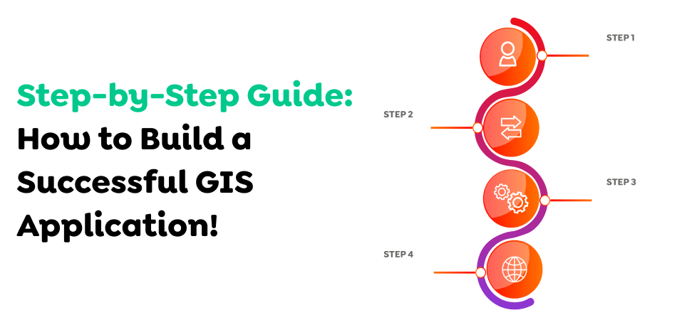
Developing reliable and effective GIS software is a clearly defined procedure. Below is a summary of the main steps:
Initial steps include defining the software’s goal, user, and desired features. They also involve identifying the kinds of data that will be utilized, the preferred analysis techniques and the user interface needs.
The next stage is to collect the required spatial information from different sources. These could be internal databases, open data portals, or purchasing information from commercial suppliers. Cleansing and pre-processing data is essential to guarantee data quality and uniformity within the application.
Based on the requirements gathered, programmers create the system’s architecture, which includes the hardware components, software components infrastructure, and data storage solution. The next step is to select the appropriate GIS software development tools and libraries.
In this case, the mobile app developers write codes to create software functions. This could require using different programming languages and APIs suited for GIS development.
After developing an app, the program undergoes rigorous testing to ensure its performance, functionality, and ease of use. Once the tests are successful, it is then deployed in the desired environment, which could be a web-based platform, desktop application, or even a mobile phone application.
Offering user education and continual app maintenance is crucial to the success of software deployment. Training helps users use the software’s capabilities effectively. Maintenance keeps the program updated with the trending technology and corrects any errors or bugs that may occur.
Also Read : How Much Will Mobile App Development Cost in 2025?
Let’s break it into bite-sized chunks! Creating a GIS software program is comparable to making a delicious meal. The final cost will depend on numerous factors. Some of them are:
Simple applications with basic maps will be more affordable. In contrast, the ones that include sophisticated analytics, 3D visualization, and real-time data processing cost more.
The cost of hiring a Michelin-starred chef is more than hiring someone who has recently graduated from a culinary institute. In the same way, skilled developers or established Mobile App Development Company will charge more, but the value usually justifies the cost.
It is important to understand that different locations or areas can alter costs.
Also Read : The True Cost of Developing an Insurance Aggregator
Regular maintenance, updates, and the introduction of new features will result in ongoing expenses. Updates and maintenance can amount to around 10-20% of annual development costs.
We’ve already mentioned that GIS application development needs special GIS tools and conventional measures to develop apps. It is good to know that there are numerous tools to select from, which include:
Made for web applications, specifically for web apps, this program focuses on the possibility of accessing and altering layers along with widgets to improve the design of your application.
It’s a customized open-source library for creating maps. The API uses JavaScript, which makes it extremely useful for many applications. It’s also easy to utilize and, ever since its launch in 2012, has grown a huge user base that provides constant assistance.
The library is similar to the JavaScript library. It can perform geospatial tasks like calculating distances and preparing heat maps. This is why various projects could profit from Turf.js’s simplified features.
It is among the most comprehensive sources of maps available. It’s an open-source project, and the contributors will add to the “weekly planet file.” It’s pretty substantial—at 40 GB plus! It contains information regarding roads, structures, natural features, and other natural elements. We recommend that you use it in conjunction with Overpass-Turbo. This interactive web application can be used to perform searches on the database of OpenStreetMap.
A different open-source JavaScript library called OpenLayers is simple. It lets us quickly create maps, add layers, and load data from a variety of sources into our apps.
Customized GIS software is extensively used and covers a wide range of sectors. Here are some instances:
GIS software may be utilized to display population density, traffic patterns, and land-use data to inform urban planning decisions, optimize resource allocation, and enhance infrastructure development.
The software can track environmental changes, track deforestation trends, monitor the process of clearing land, and show pollution patterns, allowing for informed decision-making in sustainable and conservation initiatives.
GIS can help optimize the delivery route, monitor assets in real time, and detect potential interruptions, leading to increased efficiency and lower costs within logistics processes.
Also Read : IoT in Logistics and Supply Chain: Role, Benefits and Use Cases
Live visualization of outbreaks, resource allocation in emergencies, and evacuation planning are only a few ways GIS software could improve public health readiness and response.
GIS software can study property value, visualize demographics around development locations, and manage facility maintenance plans.
Also Read : AR & VR Technology: The New Cornerstone of the Real Estate Industry

GIS technology is gaining ground across all areas of our life. Over the last few years, geographical information systems (GIS) have advanced dramatically as the methods of gathering, analyzing, and displaying data have changed and become more effective. Innovations such as drone-based data analysis or transforming software development with machine-learning algorithms have opened up new possibilities for making GIS applications in industry and other areas.
One of the most significant developments within GIS is the growth of big data. Thanks to cloud computing, organizations can store vast quantities of data in the cloud. Large datasets enable companies to study patterns and predict future trends based on data.
The second major trend in GIS currently is machine learning. Machine learning lets computers discover past experiences and then use the lessons learned to determine what could happen next. If, for instance, you sense that a zone has been subject to flooding, you can program a computer to recognize this fact and alter its behavior accordingly.
Also Read : The Impact and Future of Machine Learning in Healthcare: Applications, Benefits, and Challenges
AR can be described as a subset of VR (Virtual Reality). It is among the most talked-about topics in technology at the moment. AR is a new technology that lets users view virtual objects superimposed on real-world scenes. This technology offers immense potential in both commercial and personal applications.
The very first version of AR devices was heavy headsets, which required the wearer to put them on when operating the device. The latest advances in mobile computing allow users to wear lighter, smaller, and cheaper AR devices. These new devices enable users to look at digital data that overlaps with the environment.
The future of GIS lies in augmented reality, the latest technology that overlays digital information in the real world. Imagine, for instance, that you were strolling along the streets of a city and saw a billboard for a new eatery. Click on the image to be taken to the site to learn more about the restaurant.
Also Read : The Impact of Augmented Reality (AR) in Marketing: Boosting Consumer Engagement
VR is relatively new to the Geospatial sector, but its application is expected to help expand the industry tremendously. VR provides a fully immersive 3-D world that allows you to look at objects and experience virtual space. If, for instance, you were playing a video game in which you were required to take guns, you would be able to experience the feel of the weapon in your hands.
VR offers many advantages over AR. For one, it offers an even greater level of experience over AR since it provides 360-degree views of the environment in which users are. Additionally, VR is cheaper than AR as it does not require specific equipment like cameras or even sensors. In addition, VR is more accessible than AR since it requires minimal training. Fourthly, VR is much more intuitive than AR, as it is easier to comprehend what’s happening in the virtual space. In addition, VR is more enjoyable than AR because it creates a sense of belonging in the virtual world.
3D printing has been utilized for a long time to produce prototypes and small-scale objects. It is currently used to create more oversized objects, too. This latest production method permits people to print objects using a 3D printer. Then, they can include additional features. This can include adding color or functionality and making things more sturdy.
Geospatial companies will use this technology to make tangible and long-lasting outputs. It has been used to print geospatial models or landscapes for construction projects.
Also Read : How to Hire a Full-Stack Developer in 2025: Best Platforms, Costs & Key Benefits
Advancements in GIS computing have expanded the range of applications in which GIS data can be utilized. Many organizations are working on GIS App tailored explicitly to analyzing, collecting, and displaying data relevant to their field of expertise. GIS’s potential is the most exciting when it’s combined with machine learning. A great example is autonomous cars. We will soon see several autonomous vehicles on the roads.
It is being utilized in a few countries, but it is only used in some places. It involves various technologies, including LIDAR, radar, and cameras. Sensors collect information about what’s happening around the car and then process it with GIS software. What is the result? Maps of the zone are shown in the instrument panel. GIS’s role is to find the most efficient route, record the weather, traffic, and road conditions, as well as the ability to navigate.
A mix that includes GIS, AI, machine learning, and deep learning offers much to expect. In particular, it could assist in creating accurate models of precise agriculture, combating criminality, and forecasting weather events. The more GIS is integrated with the latest technologies, the more efficient it is in solving real-world challenges.
The technologies being developed include AI, Deep Learning, Machine Learning, Augmented reality, cloud computing, IoT, and live data collection and analysis. But, there must be some form of regulation for the information that people should be able to access. To ensure that we get the best out of this data, workers should know different geographical factors, not only the visualization and mapping tools available on the front end.
GIS software development is a fascinating area that can affect various industries, such as urban planning and the conservation of our environment. With solid knowledge of the components involved and an easy-to-follow development process, you’ll be already on the right track toward creating an effective GIS instrument!
By tailoring functions to meet specific requirements and integrating them with existing workflows, customized GIS software allows users to discover more insights into their data. This leads to positive outcomes in a range of sectors. As GIS technology evolves, it is possible to create innovative applications bound to grow.
Ready to elevate your GIS software with Techugo? Get in touch with us today to transform your ideas into innovative solutions. Contact us now!
Write Us
sales@techugo.comOr fill this form